North Carolina Department of Agriculture and Consumer Service
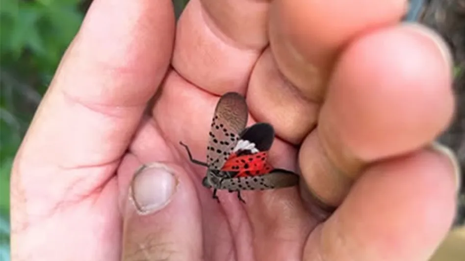
A research team from Purdue, Pennsylvania State University and Temple University is using satellite technology to stay one step ahead of the invasive spotted lanternfly.
The USDA Tactical Sciences for Agricultural Biosecurity program awarded nearly $1 million for a project to use satellite remote sensing to learn more about this mysterious pest and develop a model to predict its movements.
John Couture, associate professor of entomology and forestry and natural resources in Purdue University’s College of Agriculture, leads the project, which also includes collaborators from Purdue, Pennsylvania State University and Temple University. As reported by Purdue.edu, the group will use will use satellite data to study the spotted lanternfly, observe changes in infested trees and map and predict the pests’ spread.
The spotted lanternfly hitches rides in cargo and has spread following major transportation routes. Its local spread and how it moves once it has arrived in an area is less understood, Couture said. That is what the team plans to target with new technology based on remote sensing.
"We are all familiar with satellites’ mapping capabilities through apps like Google Earth, but some satellites also capture spectral data that can tell us about the health of and stress responses within a tree," said Couture, who is a part of Purdue’s Digital Forestry initiative. "Common characteristics of host trees and changes in infested trees may reveal what makes them attractive to this invasive species. We don’t know why the lanternfly chooses certain tree species and prefers different hosts at different stages of its life, but we hope to find out."
Latest from Pest Control Technology
- Expert Exchange: Staying Ahead of Bed Bug Adaptations With Unmatched Expertise and Solutions
- Los Angeles Leads Orkin’s 2024 Top Mosquito Cities List
- The Industry’s First Line of Defense: Protecting the Perimeter
- Golden Circle Exterminators Celebrated 50th Anniversary
- Global Pest Management Coalition Announces World Pest Day 2024 Celebration
- Orkin Helps Local Youth Sports Program Design a ‘Killah’ New Logo
- ABC Home & Commercial Services Celebrates 75 Years in Business
- NPMA Academy Announces Full Schedule


